
Where Am I Standing? One Tap.Your phone’s location, and everything about that spot in Northern Virginia
At an open house or driving a neighborhood, tap once. The town, the homes sold around you, the schools, the noise, the flood zone and the lot, each from its source.
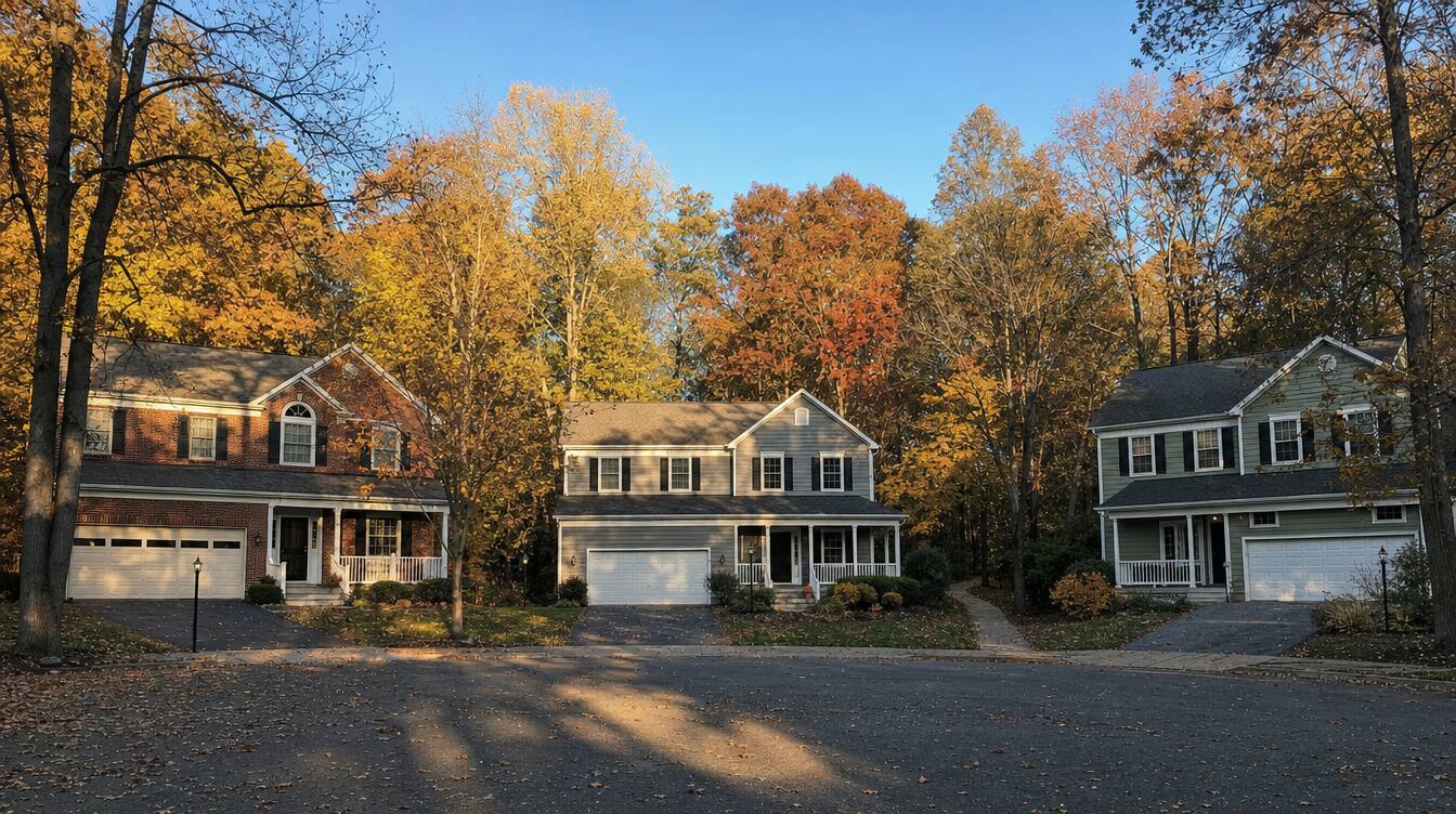
A wooded cul-de-sac in Reston· Reston, Fairfax County
Pictures: artist’s renderings of real places in Northern Virginia.
One tap
Tap. See everything about this spot.
Your phone asks first. Your location is used once and not saved.
Standing at an open house, or driving a street you like? Tap once. Or type any Northern Virginia address.
Updated October 31, 2026One tap, seven answersThe button first, then a 1-minute read
Quick answer
Tap the button. Your phone shares where it is once, Virginia’s own address list names the nearest address, and the page answers for that spot: the town guide, the homes sold within 1 mile in the last 12 months with their median prices1, the schools whose lines cover it, the noise, the FEMA flood zone and, in Fairfax County, the lot. Each answer opens its full tool. Nothing is saved.

One tap, seven answers
From the tools already on this site
For general information. Not an appraisal, a survey or a flood determination.
What one tap checks
Seven answers, each from its source.
- The townThe town guide for that ZIP code: prices, schools, the commute and what’s selling.
- Homes sold within 1 mileHow many houses and townhouses sold in the last 12 months, and the gold median price of each, from the sold radar.
- SchoolsThe elementary, middle and high schools whose lines cover the spot, by name, from the school boundary finder.
- NoiseRoad and rail as a 24-hour average, and low planes a day, from How loud is my street?
- Flood zoneFEMA’s zone, and whether a lender requires flood insurance, from the flood zone map.
- The lotIn Fairfax County: stream buffer, marine clay, easements, historic district and septic, from Lot Check.
- The houseThe county record of the nearest house, and one tap to its quick facts: size, value range and sun.
Questions
What people ask about Where am I standing?
What does Where am I standing? show?
Tap the big button and your phone shares where it is, once. The page names the nearest address and answers for that spot: the town guide, how many houses and townhouses sold within 1 mile in the last 12 months and their median prices, the schools whose boundary lines cover it, road, rail and plane noise, the FEMA flood zone, and, in Fairfax County, what the county's maps show on the lot. Each answer opens its full tool on this site.
Is my location saved or sent anywhere?
No. The position goes once to Virginia's own address list (VGIN), the free state service every address box on this site uses, to name the nearest address. The homes sold count asks this site's server for the sales around the spot, without any address. Nothing is kept: tap again and it starts fresh.
Why does it say the nearest address?
A phone's location can be off by a house or two, more indoors. When you are within about 150 meters (500 feet) of an address, the answers are for that house. Farther away, on a trail or a big road, they are for where you are, and the nearest address is only its name. Not the right house? Type its address in the box under the button.
Does it work everywhere in Northern Virginia?
Yes, in Fairfax, Loudoun, Prince William and Arlington Counties and the cities in them. School lines are on this site for Fairfax County, the City of Fairfax and Loudoun County; elsewhere the answer links the school division's own lookup. The lot row is for Fairfax County, whose maps answer this site live.
Is this an appraisal or a flood determination?
No. The sales are a quick look at what sold nearby, the flood zone is FEMA's map as copied onto this site, and the county maps are a guide, not a survey. For a home you want to buy, the lender's flood certificate, the school division and the plat have the final word, and Ahmed can pull the exact sales with addresses.
Your next step
Like the street you’re on?
Text me where you are. I’ll tell you what’s for sale around it, what sold and for how much, and what living there is really like. English or Arabic.
Keep exploring
The tools behind each answer.
Just saw a house? Quick facts
Size, value, schools, noise, flood zone and sun for one address.
ToolHomes sold near me: 1-mile radar
Every house and townhouse sold within 1 mile, on a map.
ToolFairfax Lot Check
The lot drawn, with the stream buffer, clay, easements and zoning.
ToolSchool boundary finder
The official lines, the subdivisions and ZIPs inside them.
Try a free tool
See all 38 free tools →- What's my next move? simulatorPick your goal: first home, a bigger home, moving away, downsizing. See your paths side by side with the payment, the cash and the loan that fits.
- Buying power calculatorStart from the payment. Tax, insurance and HOA included.
- Moving to Northern VirginiaWhat a home really costs a month here, with 2026 taxes, county by county and against Maryland; towns by price, commute and lot size.
Keep reading
- ToolJust saw a house? Quick factsType the address of a house you just saw: size, value range, community sales, schools, noise, flood zone and sun on one screen.
- ToolHomes sold near me: 1-mile radarType any address: every house and townhouse sold within 1 mile, the median price and the latest sales.
- ToolSchool boundary finderType a high school, see its official boundary, the subdivisions and ZIPs inside it.
- ToolFlood zone mapType an address: its FEMA flood zone, whether a lender requires flood insurance, what owners here pay, and the new draft maps.