

Is My House in a Flood Zone?FEMA zones, insurance costs and coming map changes for any Northern Virginia address
Type an address. See its FEMA flood zone in plain words, whether a lender will require flood insurance, what owners here pay, and whether the new draft maps change it.
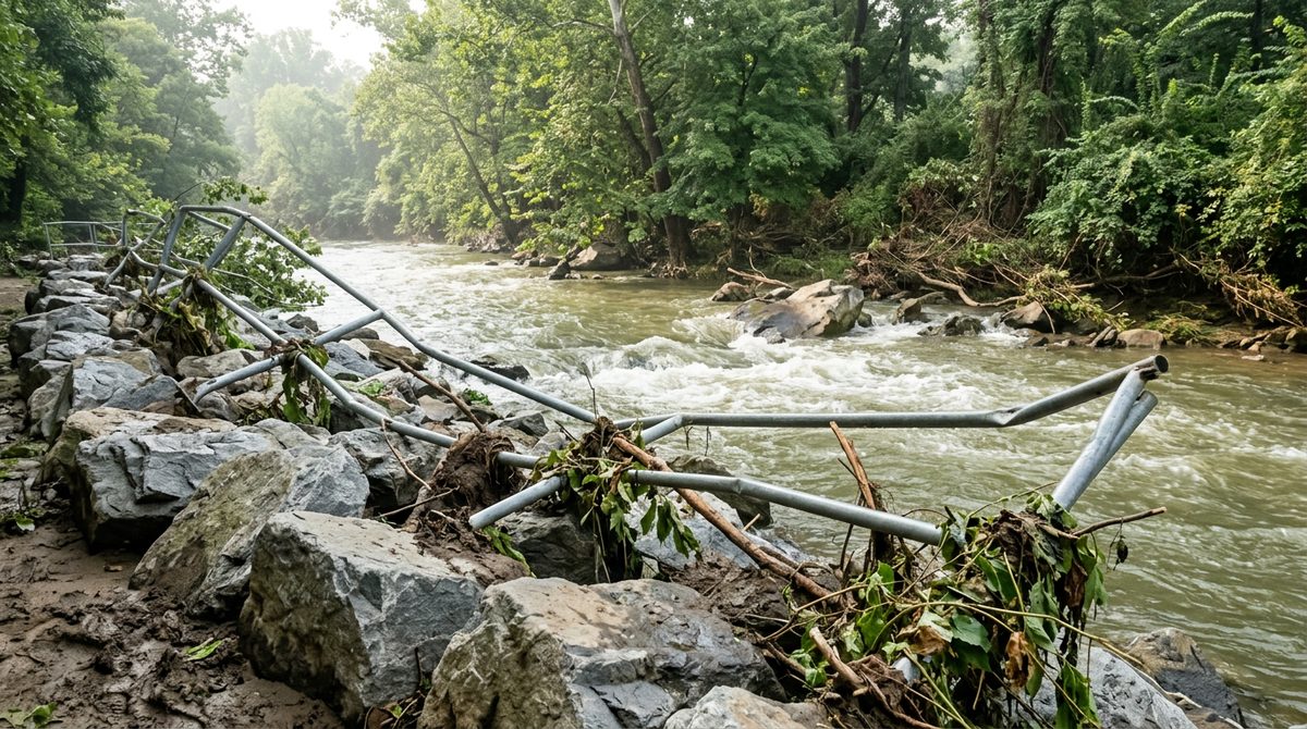
The Potomac at Great Falls, high water· Great Falls, Fairfax County
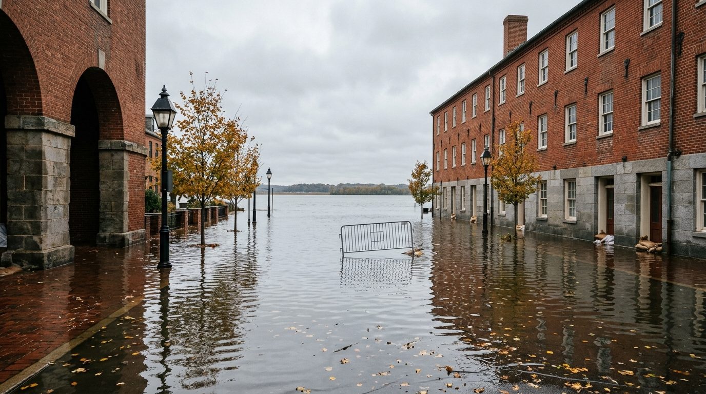
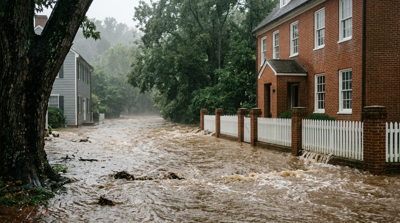
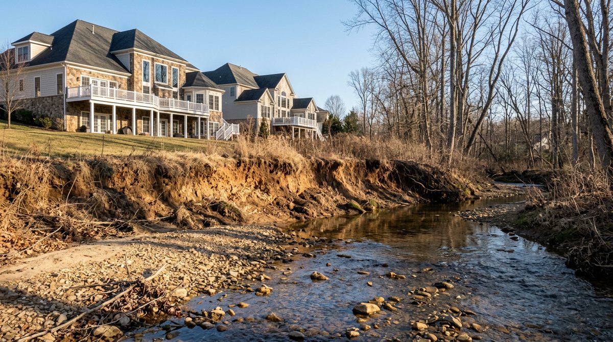
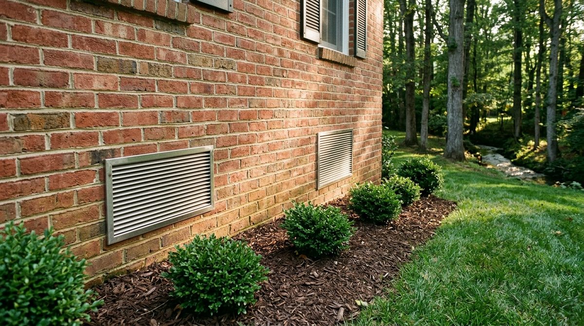
Flood zones: FEMA, map copied October 26, 2026. Pictures: artist’s renderings of real places.
Check an address
Type an address. See if water comes with it.
Your answer shows here
Type an address above and pick it from the list. A pin drops on the map and this panel tells you the zone, what it means for a mortgage, and what owners nearby pay.
Tap the map key to show or hide each layer: the zones, FEMA’s draft map, and real flood reports since 2023.
Map key Tap to show or hide
Zoom in to see the zones street by street. Unshaded Zone X (low risk) is everywhere not colored. The draft map covers Fairfax County and Prince William County, where FEMA has posted one; it draws once you zoom in. Tap a flood report dot to read what the weather service logged there.
Pick the address from the list. The pin drops on FEMA’s flood map and the answer shows beside it.
Updated October 26, 2026FEMA flood map copied October 26, 2026The tool first, then a 5-minute read
Quick answer
FEMA’s high-risk flood zones (A and AE) follow Northern Virginia’s creeks, rivers and the tidal Potomac: land with a 1% chance of flooding in any year. A house in one needs flood insurance for nearly any mortgage.5 Owners here paid a median $1,292/year for a federal policy in a high-risk zone and $594/year outside one.3 Yet 57% of the 1,501 paid flood claims here since 2000 were outside the high-risk zones,4 and Fairfax County and Prince William have new draft maps on the way.2 Type an address above to see where it falls.

Flood risk in Northern Virginia, in six numbers
FEMA maps, policies and claims; Virginia and federal law; checked October 26, 2026
Costs: what owners paid for a National Flood Insurance Program policy on a single-family house or townhouse (no condos) that started September 1, 2025 to August 31, 2026, premium plus fees, in Fairfax, Loudoun, Prince William and Arlington counties and the cities of Alexandria, Fairfax, Falls Church, Manassas and Manassas Park.
In a flood zone, or near one
What it means to be in a flood zone, or just outside one.
FEMA draws its lines from how high a rare flood would rise. Pick a storm, or press play, and watch the water climb past three houses: one inside the high-risk zone, one 50 feet outside it, one up the hill.
Water fills Zone AE, the high-risk line lenders use. House A floods. Odds of at least one over a 30-year mortgage: 26%, about 1 in 4.
- AIn the zoneZone AE, high riskWater inside
- BJust outsideShaded X, 50 feet past the lineWater in the yard
- CUp the hillZone X, low riskDry
- Floodway
- High risk (A, AE)
- Moderate (shaded X)
- Low risk (X)
A drawing, not to scale. Real lines follow the ground and FEMA’s flood studies; the address check above gives a real house its real zone.
In, near or far: what changes for the owner
Costs: median yearly bill for a federal flood policy on a house or townhouse across Northern Virginia, September 2025 to August 2026, in a high-risk zone and outside one.3 Under Risk Rating 2.0, fully in place since April 1, 2023, the federal price looks at the house itself, not only the zone: how often floods reach it, how far it sits from the water, how high it sits and what it costs to rebuild.10
Every zone on FEMA’s map
| Zone | What it means | Flood insurance for a mortgage |
|---|---|---|
| Zone AE floodway | The creek or river channel and the land right beside it that carries floodwater. Building here is tightly limited. | Required (high risk). |
| Zone AE | A 1% chance of flooding in any year (the “100-year flood”). FEMA has set the height floodwater would reach. | Required (high risk). |
| Zone A | A 1% chance of flooding in any year (the “100-year flood”). FEMA has not set a flood height here. | Required (high risk). |
| Shaded Zone X | Outside the 100-year flood area, inside the 500-year one: a 0.2% chance of flooding in any year. | Not required by federal rule. Often worth it. |
| Zone X | Outside FEMA’s mapped flood areas. Low risk is not no risk: heavy rain, a backed-up drain or a low basement can still flood. | Not required by federal rule. Lower cost. |
A 1-in-100 flood is not once a century
“100-year flood” means a 1% chance in any year, every year. Over the years you own a home, the chances add up. Slide to the years you plan to stay.
The odds are FEMA’s yearly chance carried over the years: 1 minus 0.99 to the power of the years for a 1% flood, 0.998 for a 0.2% flood. They assume the yearly chance stays the same.
Where the flood zones are
Few homes sit inside a high-risk zone. Many more sit near one.
The zones follow creeks, rivers and the Potomac’s edge, so they gather in a few subdivisions. Of the 524,874 houses and townhouses on county records in Fairfax, Loudoun and Prince William, 2,246 sit inside a FEMA high-risk zone and 34,427 more within 250 feet of one.9
961 in a high-risk zone (0.3%)143 in shaded X (0.1%)19,904 within 250 feet of one (7.0%)
398 in a high-risk zone (0.3%)128 in shaded X (0.1%)5,773 within 250 feet of one (5.0%)
887 in a high-risk zone (0.7%)364 in shaded X (0.3%)8,750 within 250 feet of one (7.0%)
Bars stretched 8 times so the small shares show. Near = outside both zones, within 250 feet of a high-risk area.
Towns with the most homes in a high-risk zone
Share of houses and townhouses on record inside a high-risk zone, towns with 300 or more homes on record, by ZIP code. McLean in red.
Subdivisions with the most homes in a high-risk zone
- New Alexandria170 homesof 193 on record (88%)
- Reflection Lake85 homesof 995 on record (9%)
- Lake Braddock46 homesof 1,245 on record (4%)
- Bel Air41 homesof 421 on record (10%)
- Chalet Woods41 homesof 297 on record (14%)
- Glenwood Manor37 homesof 467 on record (8%)
- Shannon Station31 homesof 420 on record (7%)
- Somerset At South Run30 homesof 122 on record (25%)
- Mason Terrace26 homesof 131 on record (20%)
- Kent Gardens22 homesof 138 on record (16%)
- Merrifield View20 homesof 109 on record (18%)
- City Park Homes18 homesof 524 on record (3%)
128 of the county’s 4,136 named subdivisions have at least one home in a high-risk zone.
- Broad Run Farms52 homesof 329 on record (16%)
- Richland Acres19 homesof 104 on record (18%)
- South Bank14 homesof 249 on record (6%)
- Potomac Farms7 homesof 78 on record (9%)
- Town Of Hillsboro7 homesof 46 on record (15%)
- Leesburg Estates6 homesof 73 on record (8%)
- Tyler Et Al Division6 homesof 6 on record (100%)
- Virginia Knolls6 homesof 191 on record (3%)
- Historic Selma Estates5 homesof 276 on record (2%)
117 of the county’s 2,336 named subdivisions have at least one home in a high-risk zone.
- Loch Lomond86 homesof 368 on record (23%)
- Yorkshire Acres54 homesof 476 on record (11%)
- Dale City48 homesof 13,657 on record (0%)
- Marumsco Acres41 homesof 664 on record (6%)
- Westgate Of Lomond32 homesof 1,176 on record (3%)
- Marumsco Village21 homesof 774 on record (3%)
- Lake Ridge20 homesof 6,569 on record (0%)
- Loch Lomond Resub20 homesof 24 on record (83%)
- Meadowbrook Woods18 homesof 479 on record (4%)
- Marumsco Hills16 homesof 1,290 on record (1%)
- Mcgrath Lake Jackson Shores14 homesof 68 on record (21%)
- Mountain View14 homesof 51 on record (27%)
128 of the county’s 1,037 named subdivisions have at least one home in a high-risk zone.
Subdivision names as the county records them. A home counts by where its county record point falls (the address point in Fairfax, the middle of the lot in Loudoun and Prince William); a lender’s determination looks at the building itself. Arlington and the cities are not in these counts: their records give no subdivision.
What flood insurance costs here
What owners here really paid, from FEMA’s own records.
Every federal flood policy on a house or townhouse that started September 1, 2025 to August 31, 2026: the median yearly bill, premium plus fees, by area and zone.3
Median: half paid less, half paid more. These are the policies owners chose, with their own coverage and deductibles; a quote for a given house can be well above or below. In a high-risk zone, the middle half across Northern Virginia paid $903 to $1,774 a year. Private flood insurance is another option.
Floods outside the zones
Most flood claims here came from outside the high-risk zones.
Flash floods after a cloudburst fill streets, storm drains and basements far from any creek. FEMA’s claim records show it.4
57% of 1,501 paid flood claims in Northern Virginia since January 1, 2000 were for buildings outside the high-risk zones (light blue). $31,274,992 paid in all; the median claim on a house or townhouse was $7,809.
2003June
2006Sept
2011July
2019
Paid flood insurance claims a year, losses January 1, 2000 to FEMA’s September 8, 2026 release. The big four: Hurricane Isabel (September 18 and 19, 2003), June 25 and 26, 2006, September 8, 2011, and the July 8, 2019 flash flood.
Real floods, the last three years
What really happened here, and how it turned out.
Northern Virginia gets a few cloudbursts most summers and tidal floods on the Potomac. The pattern since late 2023: a few hours of closed roads, cars stuck in low spots, some wet basements, quick rescues, and a lot of money now going into fixes.
The stories, from the weather service’s own log
December 17–18, 2023Fairfax, Loudoun, Prince William
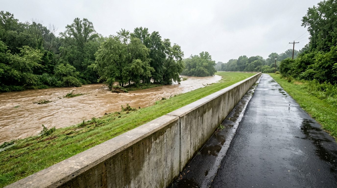
A long, soaking rain. Little Bull Run crossed its record flood stage at Artemus Road after midnight; Accotink Creek reached minor flooding in Annandale; roads along the creeks closed overnight.
✓Little Bull Run was back below flood stage by 6:30 in the morning.11
August 9, 2024Alexandria waterfront, Fairfax
Tropical Storm Debby pushed the Potomac into moderate tidal flooding in Old Town. Accotink Creek briefly covered Woodburn Road.
✓The weather service flagged the tide 2.5 hours ahead; the creek fell below flood stage by 8:25 AM.11
September 21–24, 2024Alexandria waterfront
Three nights of moderate tidal flooding from wind and high tides, with no storm at all.
✓This “sunny-day” flooding is exactly what Alexandria’s new waterfront plan is built to end (below).11
July 2025Alexandria, Tysons, McLean, Great Falls, Prince William
The busiest month. July 9: 1.5 to 3 feet of water near the Braddock Road Metro, cars stuck on East Monroe Avenue. July 14: water rescues around Tysons and McLean; Accotink Creek rose 7 feet in an hour. July 19: seven people rescued from one car in 2 feet of moving water on Old Dominion near Great Falls.
✓Every one of those rescues ended well: the weather service logged no flood deaths or injuries.11
July 6–7, 2026Prince William, Loudoun
Slow storms dropped 2 to 4 inches, up to 6 in spots. Basements on one street took water up to chest height; Sudley Road closed at Manassas Battlefield; a swiftwater rescue at Kettle Run.
✓The weather service called it one isolated flash flood, from storms that sat over the same spot.11
September 3–4, 2026Alexandria, Fairfax
An overnight thunderstorm: 1.25 inches of rain at Reagan National. Five people rescued from floodwaters on the George Washington Parkway; two more stranded near East Glebe Road. Wind brought down trees and power lines.
✓Rescue crews got all five people out of the water.12
October 11, 2026Alexandria, Arlington shoreline
The remnants of Isaias brought steady rain and a coastal flood advisory for the river’s edge.
✓An advisory, not a disaster: a heads-up to move cars off the lowest waterfront streets.13
Tap Flood reports in the map key above to see where each report was made. The weather service’s file runs to July 7, 2026; the September and October 2026 storms come from local news.
Who it hit: homes, businesses, roads
Homes
- Basements took the hits. The reports describe water in basements on low streets after cloudbursts (western Loudoun, May 2025; Prince William, July 2026), not homes swept away.11
- Low streets and creek crossings. The same spots show up again and again: Woodburn Road at Accotink Creek, Artemus Road at Little Bull Run, Valley View Drive at Kettle Run.11
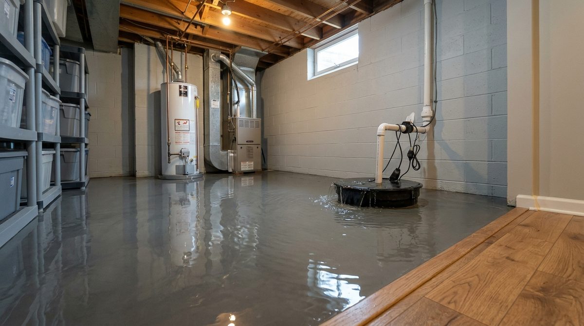
- Few insurance claims. 17 paid federal flood claims for 2024 to 2026 so far, against hundreds in the big storm years.4 Homeowners insurance doesn’t cover flood, so a basement plan matters.
Businesses and roads
- Old Town’s waterfront. 227 sunny-day floods at Prince Street in the past year (20-year average: 145) and 93 times the river topped its edge (average: 37). The city puts flood costs at $400,000 to $800,000/year.14
- Commutes. Water closed Route 1 in Dumfries, the Route 29 ramp to I-66, Columbia Pike, Chain Bridge Road and Route 28 while the water was up.11
- The fix is chosen and moving. Alexandria’s chosen waterfront plan ($145 to $165 million, one-time) ends sunny-day flooding and holds the river back to 6 feet.14
When your phone says “flash flood”
Watch, warning, emergency: three words, three different moves.15
Flash Flood Watch
Be ready. Flash flooding is possible.
- Move the car off a street that floods, and out of a low garage.
- Clear leaves from the storm drain out front and the gutters.
- Test the sump pump; lift boxes off the basement floor.
- Charge phones. Plan a way home that skips low creek crossings.
Flash Flood Warning
Act now. Flooding is happening or about to.
- Get to higher ground and stay off the road if you can.
- Never drive or walk into moving water, and never around a barricade: the road under it may be gone.
- If water is rising inside the car, get out and onto the roof, and call 911.
- Leave the basement if water comes in near outlets or the furnace.
Flash Flood Emergency
Rare. A severe threat to life.
- Go to the highest place you can reach right away.
- Call 911 if you are trapped. Wait for help on the highest point.
How deep is too deep?
Slide the water up. You can’t see how deep it is, or whether the road is still there under it. Over half of flood drownings happen in vehicles: turn around, don’t drown.15
6 inches of fast-moving water can knock over and carry away an adult.
Drawn to scale from the front: an adult 5 feet 6 inches tall, a small car 58 inches tall, an SUV 70 inches tall. Depths from the National Weather Service: 6 inches of fast-moving water can knock over an adult, 12 inches can carry away a small car, 18 to 24 inches can carry away most large SUVs, vans and trucks.
The good news: help and fixes
Get the warning first: free local alerts
Free text and email alerts from each county and city, with weather and road closures.20 Your phone also gets the weather service’s Wireless Emergency Alerts on its own.
The maps are changing
Fairfax County and Prince William have new FEMA maps on the way.
Draft maps move some homes into a high-risk zone and some out. They count for lenders only once FEMA sets an effective date. Tap FEMA draft map in the map key above to see the draft lines; the answer panel says if the draft changes an address.
- September 17, 2010Fairfax County’s current FEMA map takes effect. Loudoun’s follows on February 17, 2017; Arlington’s on November 16, 2023; Alexandria’s on January 11, 2024.1
- August 24, 2022FEMA issues draft maps for Prince William County. The county says the expected timeline for final maps is 2028.2
- August 30, 2024FEMA issues revised draft maps for Fairfax County, after an appeal period that closed in 2022.2
- September 25, 2026FEMA’s latest Fairfax County draft, after a resolution letter on the Tripps Run appeal opened a 30-day comment period. Next: FEMA’s Letter of Final Determination, then six months to the new map.2
Compare old and new lines on FEMA’s Flood Map Changes Viewer, and read the county pages: Fairfax County (703-324-5500), Prince William County (703-792-7420).
Before you buy
Six checks before an offer on a home near water.
Virginia puts the checking on the buyer: the required disclosure statement says the seller makes no promises about flood zones and points you to the lender’s determination and FEMA’s maps.5
- Check the address above.Note the zone, the map panel and whether the draft map changes it.
- Ask your lender for the flood determination early.It is the official answer for the loan, and it decides whether insurance is required.
- Get a flood insurance quote inside your inspection period.From the federal program (NFIP) or a private insurer. A new federal policy starts 30 days after you apply, unless it is bought for the loan closing.7 Federal policies cover up to $250,000 for the building and $100,000 for belongings.8
- Ask for an elevation certificate.It shows how high the lowest floor sits above FEMA’s flood level, which drives the price. The seller may have one; if not, a licensed surveyor makes one.
- Ask about past floods and claims.A seller who knows the home is a repetitive loss structure (two or more federal flood claims over $1,000 in any 10 years) must tell you.6 Look at the basement, the sump pump and how the yard drains.
- Right at the line?If the house sits above the flood level, FEMA can take it out of the zone with a Letter of Map Amendment. A surveyor’s elevation certificate is the start.

Questions
What people ask about flood zones and buying a home.
How do I find out if a house in Northern Virginia is in a flood zone?
Type the address into the box on this page. It checks the spot against FEMA's flood map (the National Flood Hazard Layer) and tells you the zone in plain words, the map panel and its date, and whether FEMA's draft maps change it. For a purchase, the lender orders an official flood zone determination; that is the answer that counts for the loan.
Do I have to buy flood insurance if the house is in a flood zone?
If the building is in a high-risk zone (any zone starting with A or V) and the loan comes from a federally regulated or insured lender, yes: federal law (the Flood Disaster Protection Act of 1973 and the National Flood Insurance Reform Act of 1994) makes the lender require it. That covers nearly every mortgage. With cash, or in shaded or unshaded Zone X, it is your choice.
How much does flood insurance cost in Northern Virginia?
Across Northern Virginia, the median National Flood Insurance Program policy on a house or townhouse that started between September 1, 2025 and August 31, 2026 cost $1,292 a year in a high-risk zone and $594 a year outside one (FEMA policy records, 6,470 policies). The middle half paid $903 to $1,774 a year in the high-risk zone. The price depends on the house: its height above the flood level, its foundation and the coverage, so get a quote early.
Do homes outside flood zones flood here?
Yes. Of the 1,501 flood insurance claims FEMA paid in Northern Virginia for losses from January 1, 2000 on, 57% were for buildings outside the high-risk zones. Most came from a few storms: September 2003 (Hurricane Isabel), June 2006, September 2011 and the July 8, 2019 flash flood. Standard homeowners insurance does not cover flood.
Is Fairfax County getting new flood maps?
Yes, but they are not in effect yet. FEMA issued preliminary (draft) maps for Fairfax County, revised most recently on September 25, 2026, and for Prince William County in 2022; Prince William expects final maps around 2028. Lenders use the effective map until FEMA sets an effective date. Tap FEMA draft map in the map key on this page to see the draft lines.
Does a Virginia seller have to tell me about flooding?
Virginia's disclosure statement (Va. Code 55.1-703) says the owner makes no promises about whether the home is in a flood hazard area and tells buyers to check: the lender's flood determination, FEMA's maps or the state's flood risk site. Separately, a seller who knows the home is a repetitive loss structure (two or more NFIP claims over $1,000 paid in any 10-year period) must disclose it (Va. Code 55.1-708.2).
Is my address saved?
No. The address goes to Virginia's own address service (VGIN) to find the spot, and the flood check runs in your browser against map files on this site. Nothing typed is stored.
Your next step
Looking at a home near a creek? Ask me first.
Text me the address. I’ll tell you what the map doesn’t: how that street handled the big storms, what flood insurance does to the monthly payment, and how it plays into the price. English or Arabic.
Keep exploring
More ways to check a house before you buy.
Just saw a house? Quick facts
Value, schools, noise, sun and flood zone on one screen.
ToolAirport noise map
Is the house in an official airport noise zone?
ToolHow Loud Is My Street?
Road, rail and plane noise at any address.
CalculatorClosing costs
What you bring to closing, line by line.
Buyer guideMaking an offer
Price, contingencies and what wins here.
Home valuationPriced on evidence.
Comparable closed sales near you, checked by hand.